

Alpina Sierra y Cañones de Guara, Canyons National Park
SKU: ALPI.280


Alpina Sierra y Cañones de Guara, Canyons National Park
Languages: partly English, French and Spanish.
Highly detailed hiking & canyoning map of the Sierra y Canones de Guara, Canyons National Park.
With logged in hiking trails and other information. excellent card. With symbols for campsites, cabins.
Note: This publisher is slow to refresh cards; It may be that a particular card is unavailable for a long time.
A topographic tourist map and hiking guide with details of tourist attractions, hiking & sporting activities as well as transport information. An excellent folded map & booklet.
Sierra de Guara in an extensive and very popular series of walking maps from Editorial Alpina covering the Pyrenees, Catalonia and other selected hiking areas in Spain, including Picos de Europa, Sierra Nevada and parts of Andalucía, Majorca, etc. Scales vary from 1:50,000 to 1:10,000, with the majority of the titles at 1:25,000. The maps have contours, usually at 20m or 10m intervals, with additional hill shading and spot heights. An overprint highlights hiking trails, long-distance footpaths, campsites, mountain huts, refuges, etc. Many maps also show climbing sites, potholing caves, mountain bike routes, equestrian and ski centres.
All the latest editions have a UTM grid, plus margin ticks for latitude and longitude at intervals of 1’. Map legend in most titles includes English.
Each title has a separate booklet with general information on the area, descriptions of selected hiking routes, a list of accommodation with addresses, etc. In several titles the booklet now includes English.
In this title: Contours at 20m intervals, relief shading and vegetation colouring. UTM grid and 1’ margin ticks. In addition to footpaths, the overprint shows climbing and canyoning sites, various types of accommodation (hotels, youth hostels, campsites, refuges, mountain huts), information centres, places of interest, locations of petrol stations in the local villages and on access roads, etc. Map legend includes English. The booklet with descriptions of the area and various hiking and climbing routes is in Spanish and French only.
Customers also bought
back available
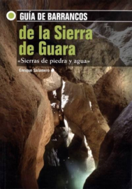 Guia de Barrancos de la Sierra de Guara
The bible among the topo books for the canyons of the Sierra de Guara and surroundings! Each valley has an overview that shows the canyons and the entrance. 47 canyons have been specifically described. 59 others mentioned.
€ 32,95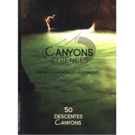 Canyons Pyrénéens : 50 Descentes Canyons
An overview of the Pyrenean Canyons (30 on the French side, as well as 20 in the Sierra de Guara / Spanish side). Each gorge is the subject of a double page: description of accesses, the approach, return and descent.
€ 29,99